place Saint-Martin-de-Crau, Bouches-du-Rhône
verifiedVerified on 07/12/2026
With the exercise stations. Without them: 25 min walking, 10 min running.
 See this trail on Visorando
navigationGPS guidance in the app
mapIGN map
downloadDownloadable GPX track
open_in_new
See this trail on Visorando
navigationGPS guidance in the app
mapIGN map
downloadDownloadable GPX track
open_in_new
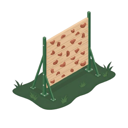
Free access health trail in Saint-Martin-de-Crau, set in a natural wooded area. A loop of approximately 1.6 kilometers is suitable for walking, running, and hiking. Several gymnastic modules line the path, and a climbing wall complements the facilities. The setting is calm and shaded.
The Saint-Martin-de-Crau Health Trail trail is 1.7 km and has 6 stations. It is located in Saint-Martin-de-Crau, in the department of Bouches-du-Rhône.
Start with five to ten minutes of brisk walking. Loosen your shoulders, hips and ankles with small gentle movements to get your body ready for the effort.
How to do it
Repérez les prises avant de monter. Poussez surtout avec les jambes et guidez-vous avec les bras. Gardez trois appuis stables à chaque déplacement.
Learn more about this equipmentFinish with a few minutes of slow walking. Gently stretch your legs, back and arms, holding each position for a few seconds without forcing.
Loading reviews...
A photo, a missing station, a name to fix: suggest an edit.
Author : Mickaël LEBRET